
Our Projects
Comprehensive portfolio covering runway resurfacing, railways, topographical surveys, and structural construction works.
Project Portfolio
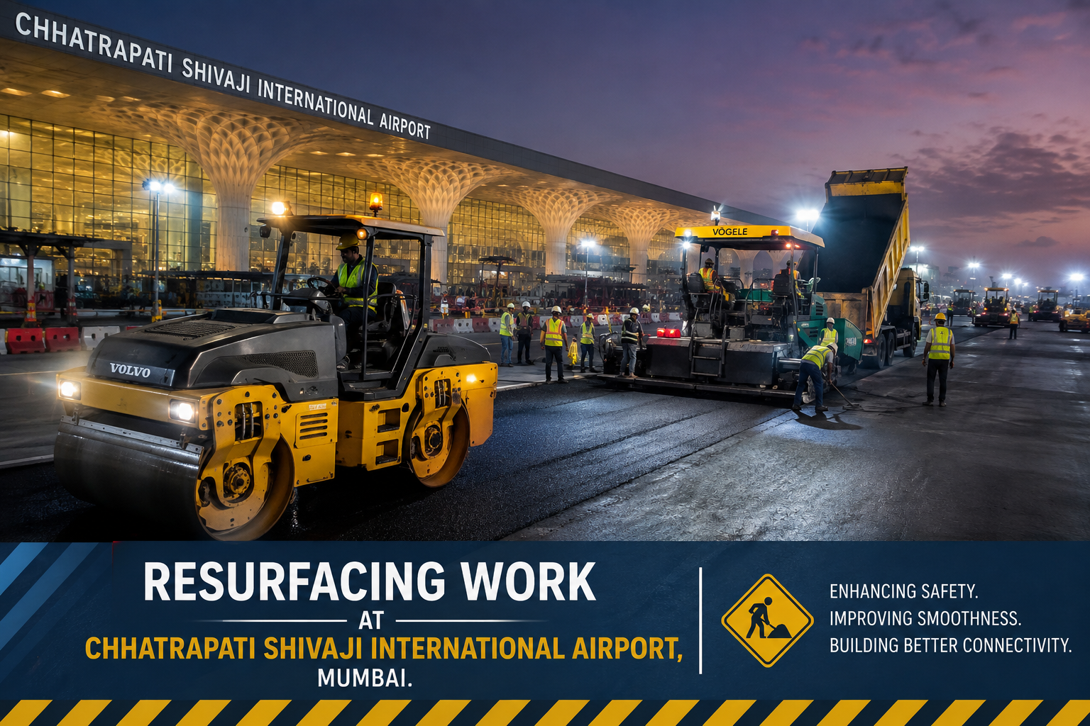 Mumbai
Bharath Construction Company (Pvt) Ltd
Project: Resurfacing of the runway and calculation of bitumen quantities required for runway resurfacing work at Chhatrapathi Shivaji International Airport, Mumbai.
 Kerala
RITES
Project: Preliminary and final surveys at a new location between Azhutha and Pamba for the proposed new B-G Railway Line between Angamaly and Sabarimala, Kerala, through Southern Railway.
 Roadways
PWD Road Division
Project: Investigation and preparation of estimate for airport connectivity — road from Kuttiyadi to Peringathoor.
 Surveying
CSIR
Project: Topographical survey around the project area using GPS survey techniques.
Irrigation Department
Project: Drip rehabilitation and improvement of basic facilities in Vazhaini.
Sahara India Housing Ltd
Project: Topographic and contour survey for 2,000 half-acre villa plots at Amby Valley, Sahara Lake City, Ambavale, near Pune, Maharashtra.
Kerala Government Revenue Department
Project: Plot demarcation and topographical surveys for various village offices.
 Mapping
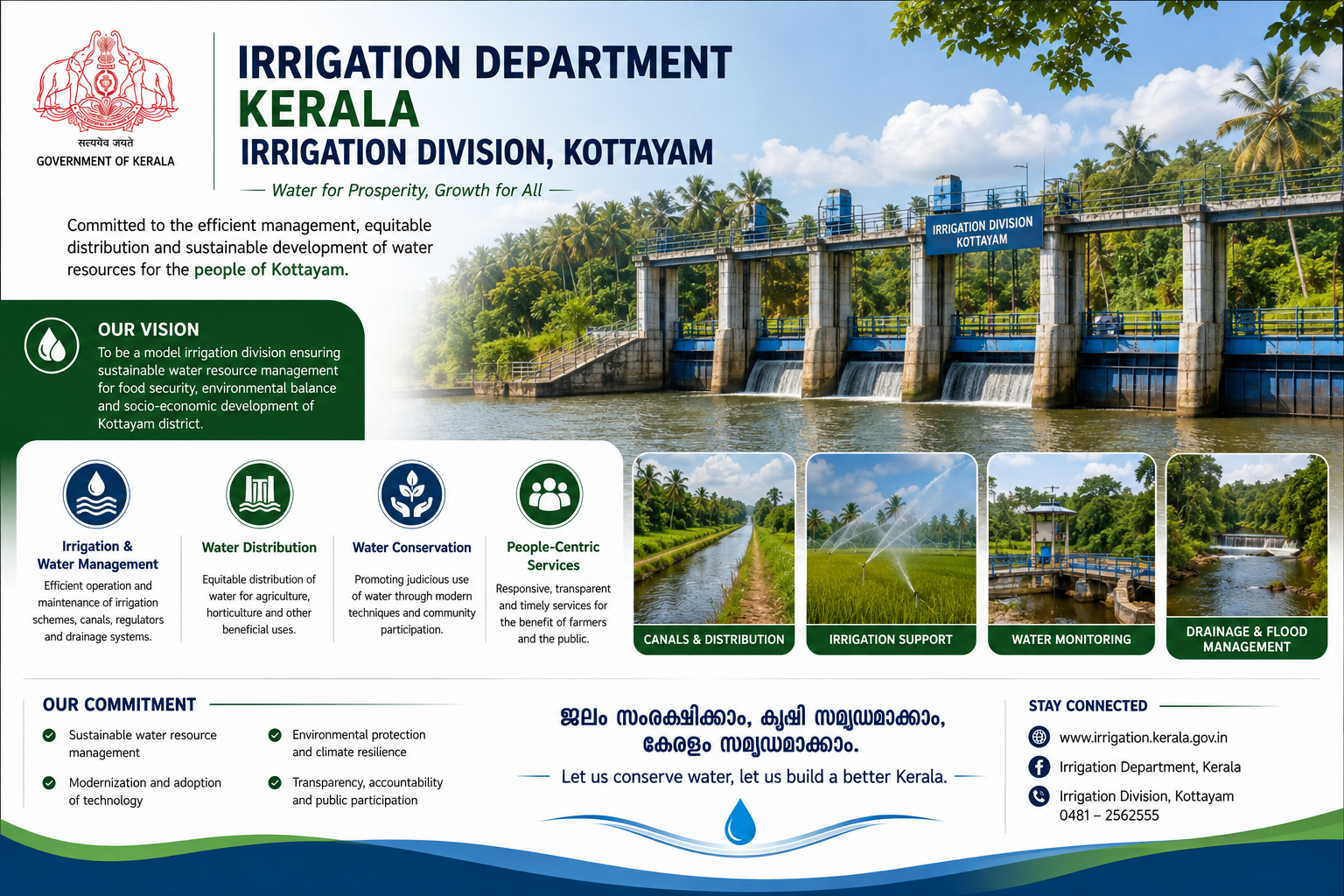
Irrigation Division, Kottayam
Project: Investigation, estimation and mapping of flood-prone areas.
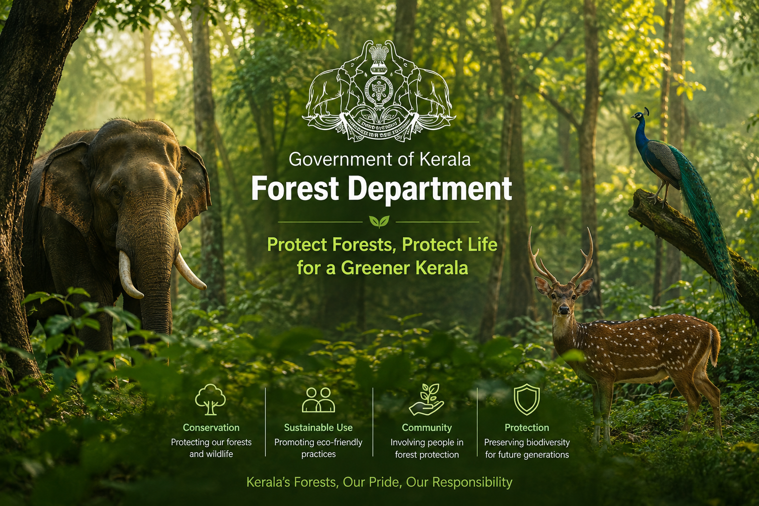 Forestry
Kerala Government Forest Department
Project: Topographical survey at Attapadi Range.
Nature / Responsibility Handled
Projects successfully executed span a wide variety of civil works including infrastructure development, regional roads, water and wastewater treatment plants, water distribution networks, potable water reservoirs, bulk earthworks, power stations, and industrial plant civil construction. Core specializations also include precision land and coast surveys, topographic mapping, contouring, and flood-prone area analysis.